ForSEAdiscovery project conducted a series of underwater expeditions in shipwrecks around Finisterre (A Coruña)
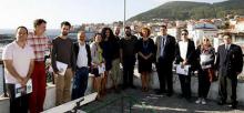
13-19 September 2014. ForSEAdiscovery project researchers began their work in Finisterre, to analyze and determine the impact of the construction of the ships of the Spanish and Portuguese imperial fleets in the Early Modern Age, in the forests of the Iberian peninsula, and among many other issues trade relations sea in the sixteenth and seventeenth centuries.
Ship Shape by Firedbird Films Ltd. (Prof. Nigel Nayling)
Conserving and recreating Newport's medieval Ship
AHRC Film commemorates the 10th anniversary of the Newport Ship discovery.
Published the book 'Historical GIS and the Study of global Trading Networks (1500-1800)' by Ana Crespo Solana
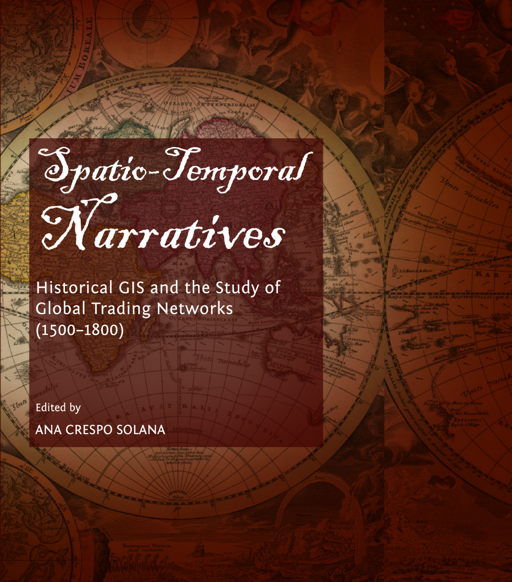 This book explores new methods and techniques for research about mechant networks and maritime routes of trade during the First Global Agethrough the use of Geographic Information Systems (GIS) as a tool to visulize the formation of trading systems, database management, cartography and spatio-temporal analysis in Historical GIS.
Kickoff Meeting ForSEAdiscovery Project. CCHS. Madrid, 2014, April 8-10th

Entre los días 8 a 10 de abril tuvo lugar en el Instituto de Historia del Consejo Superior de Investigaciones Científicas en Madrid el encuentro oficial entre todos los socios del equipo.
Pages
Funded by


Host institution

Useful links
![]()
![]()
The ForSEAdiscovery project follows the spirit and the text of the UNESCO Convention on the Protection of the Underwater Cultural Heritage especially in the matters detailed in its Annex
Social networks
